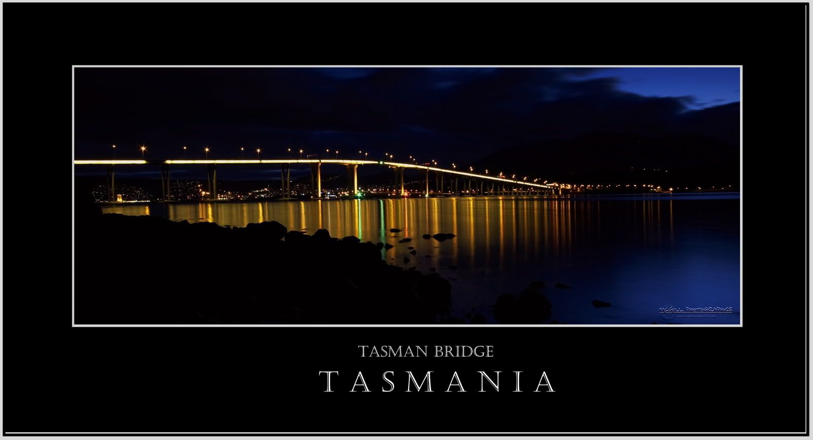
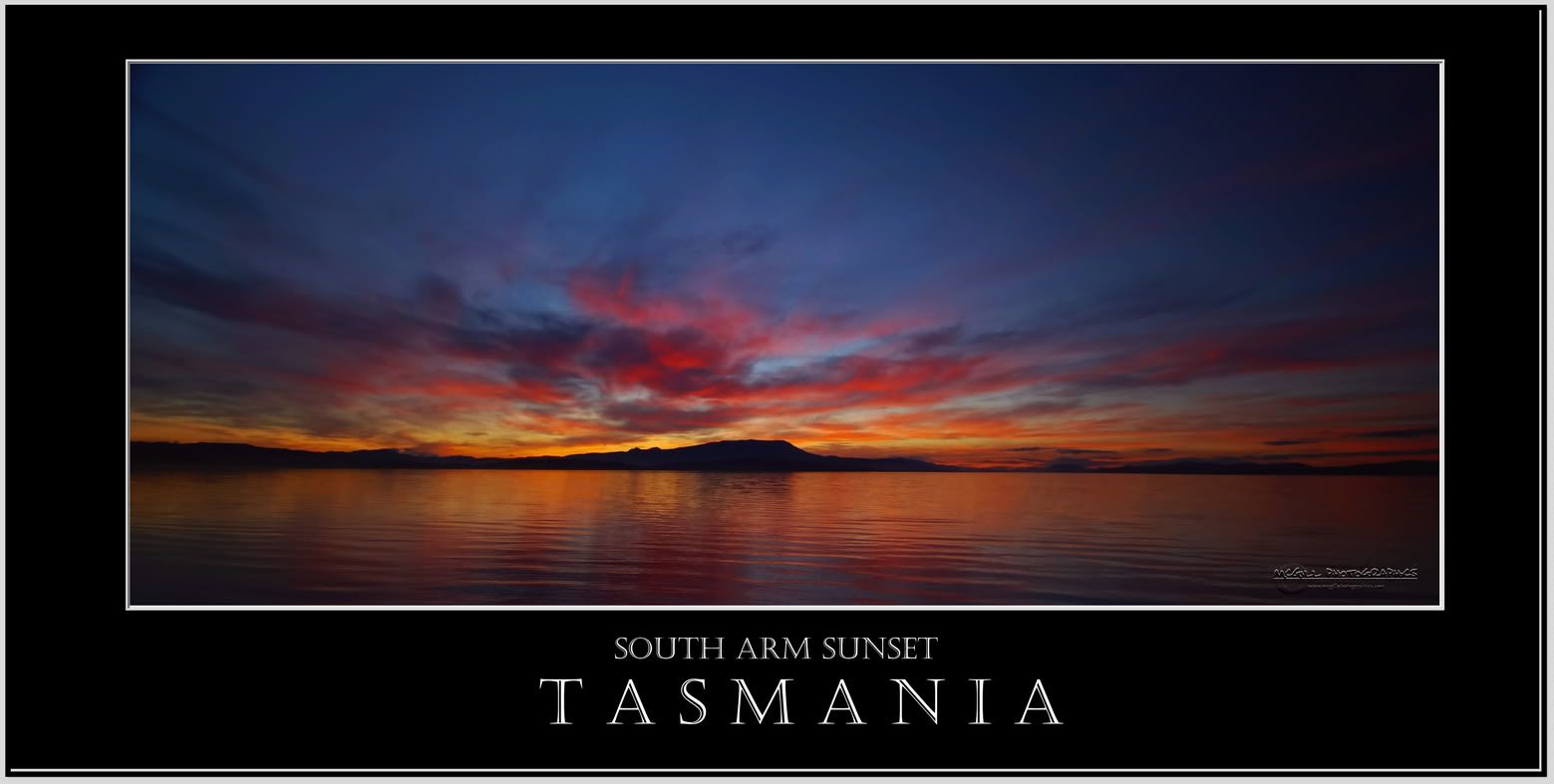

I've been mucking around with a few images of late and thought I'd upload these. Feel free to use them for wallpaper purposes only, if you wish! (Click the images to see in full size)


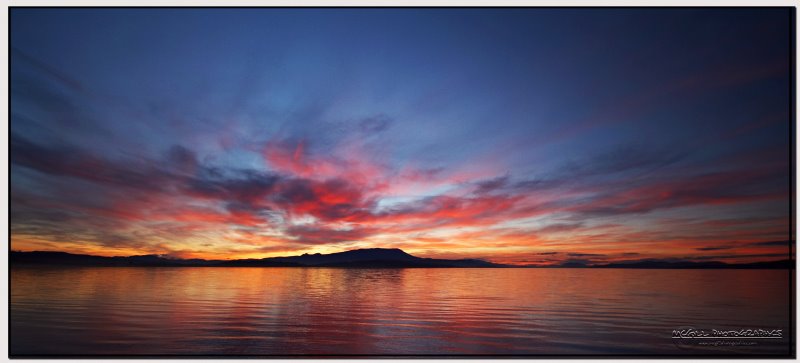
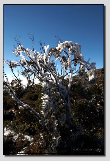

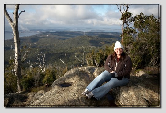




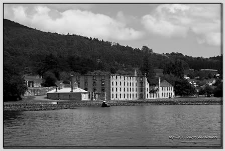
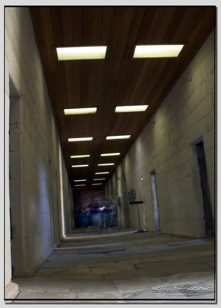
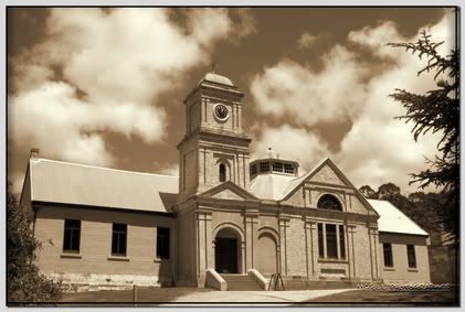
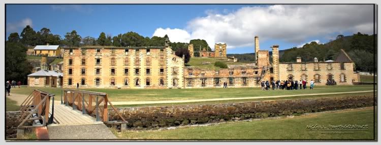
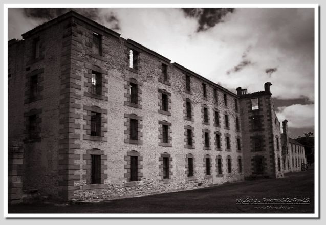 Port Arthur is a town and former convict settlement on the Tasman Peninsula, in Tasmania, Australia. Port Arthur is officially Tasmania's top tourist attraction.Port Arthur is located approximately 60 km south east of the state capital, Hobart, on the Tasman Peninsula. The scenic drive from Hobart, via the Tasman Highway to Sorell and the Arthur Highway to Port Arthur, takes around 90 minutes and covers approximately 100 km. Transport from Hobart to the site is also available via ferry or sea plane. The population of Port Arthur is around 200, with the entire Tasman Peninsula area home to about 1600 people
 .
.

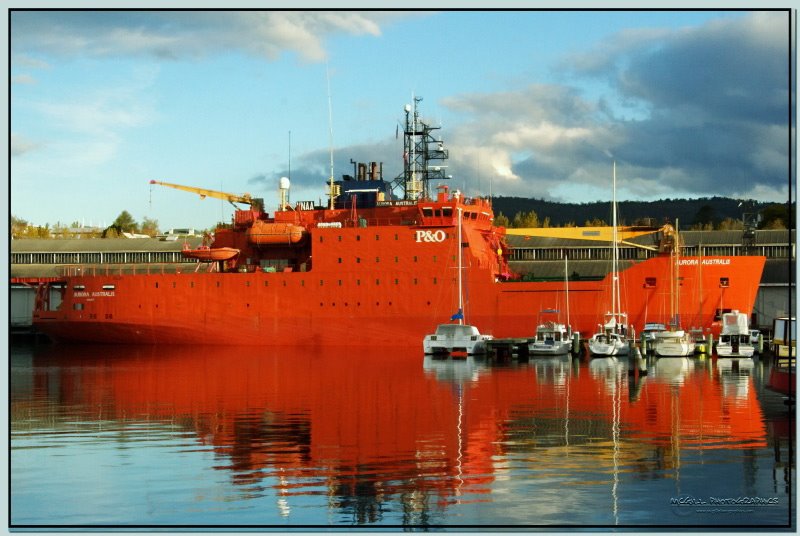
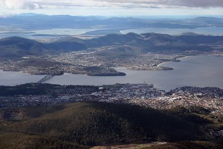 Hobart is the state capital and most populous city of the Australian island state of Tasmania. Founded in 1804 as a penal colony, it is Australia's second oldest and twelfth largest city, with a metropolitan population of 206,000. The city is the financial and administrative heart of Tasmania, and also serves as the home port for both Australian and French Antarctic operations.
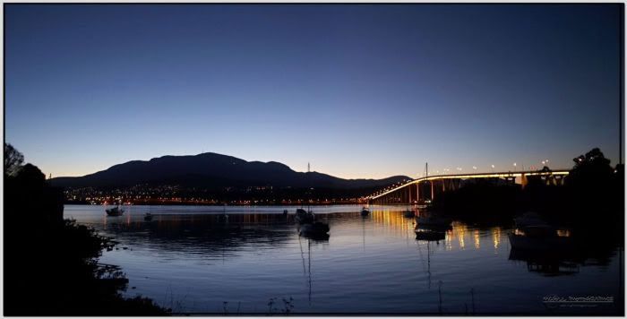 °52′S 147°19′E. The central business district is located on the western shore, adjacent to Sullivan's Cove, with the inner suburbs spread out along the shores of the Derwent and climbing up the hills at the foot of Mount Wellington (1270 metres high).
 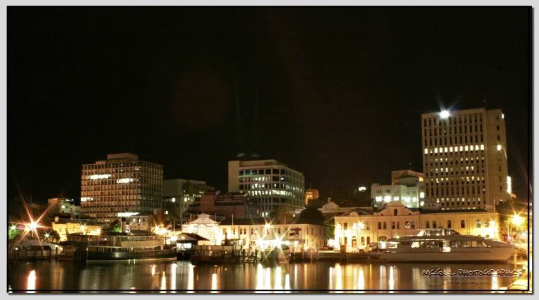 amount of both the western and eastern sides of the river.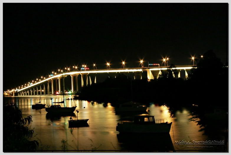
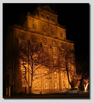
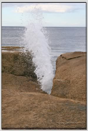
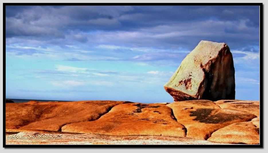 Located 176 km south east of Launceston and 182 km north east of Hobart (via the Tasman Highway), Bicheno is a charming seaside resort town noted for its good motels, its excellent fishing facilities, its safe and attractive beaches and its interesting coastal walks which include some superb rocky outcrops and spectacular blowholes.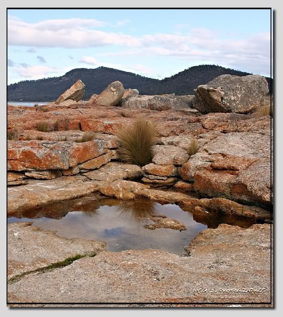
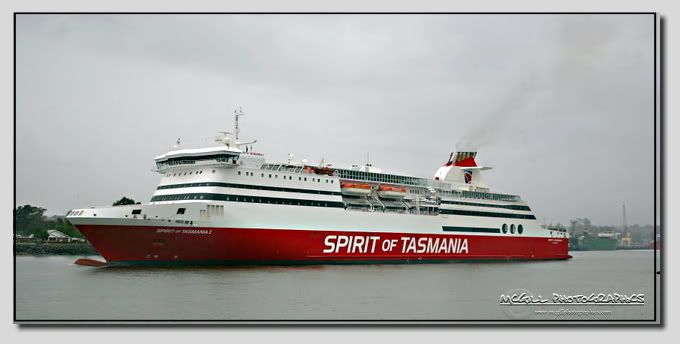 Spirit of Tasmania has been part of the name of four different ships that have served as passenger/vehicle ferries on Bass Strait, between Tasmania and the Australian mainland. The ships have all been owned and operated by the Tasmanian Government operated TT-Line.
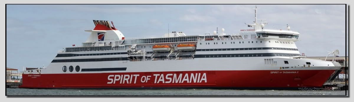 , formerly called Superfast II. It is a slightly smaller ship than the other two ferries in service. It travels a new route, the Devonport-Sydney route. It makes a one-way trip each day, taking approximately 20 hours.
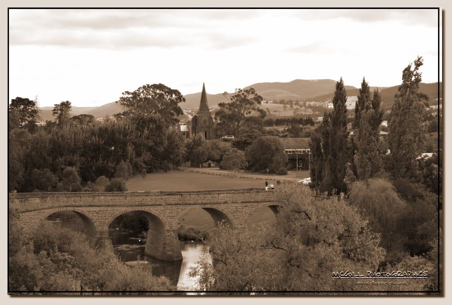
 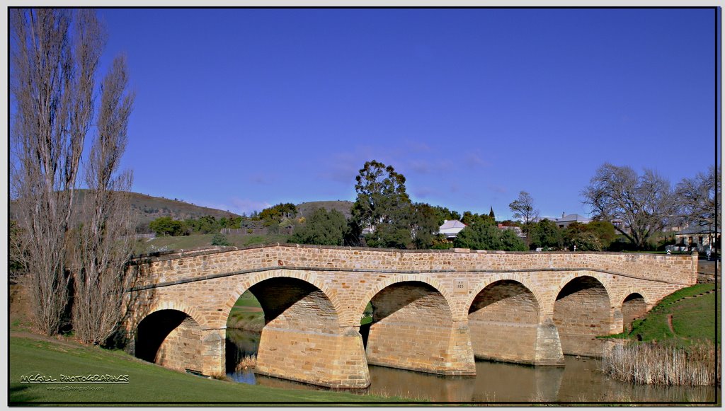 Richmond, Tasmania is a town about 25 km north-east of Hobart, in the Coal River region, between the Midlands Highway and Tasman Highway.
Richmond's most famous landmark is the Richmond Bridge, built in 1823, around the time of the town's first settlement. It is Australia's oldest bridge still in use.
The town was initially part of the route between Hobart and Port Arthur until the Sorell Causeway was constructed in 1872.
Present-day Richmond is best known as being preserved as it was as that time. It is a vibrant tourist town, with many of the sandstone structures still standing.
Geologically, Bruny Island is actually comprised of two islands - North Bruny and South Bruny - that are joined by a long, narrow sandy beach. The holiday village of Dennes Point is located in North Bruny, while South Bruny is the site of the towns of Alonnah, Adventure Bay and Lunawanna.
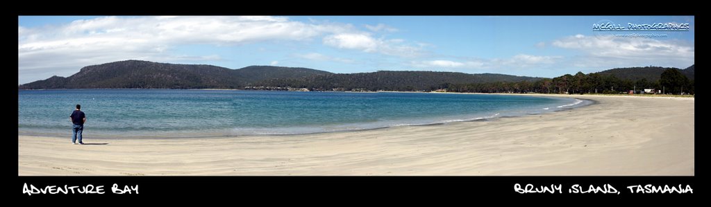
Outside its settlements the island is covered in grazing fields and large tracts of dry eucalyptus forest. Inland forests continue to be logged, but other large sections - mostly along the southeastern coast - are preserved as the South Bruny National Park. While the seaward side of the island features two long beaches - Adventure Bay and Cloudy Bay - it is for the most part extremely rugged, with cliffs of dolerite that tower over 200 metres above sea level, and which are amongst the highest sea cliffs in Australia.
Bruny's channel side is far more sheltered and a favourite fishing and recreational boating area for local and interstate visitors.

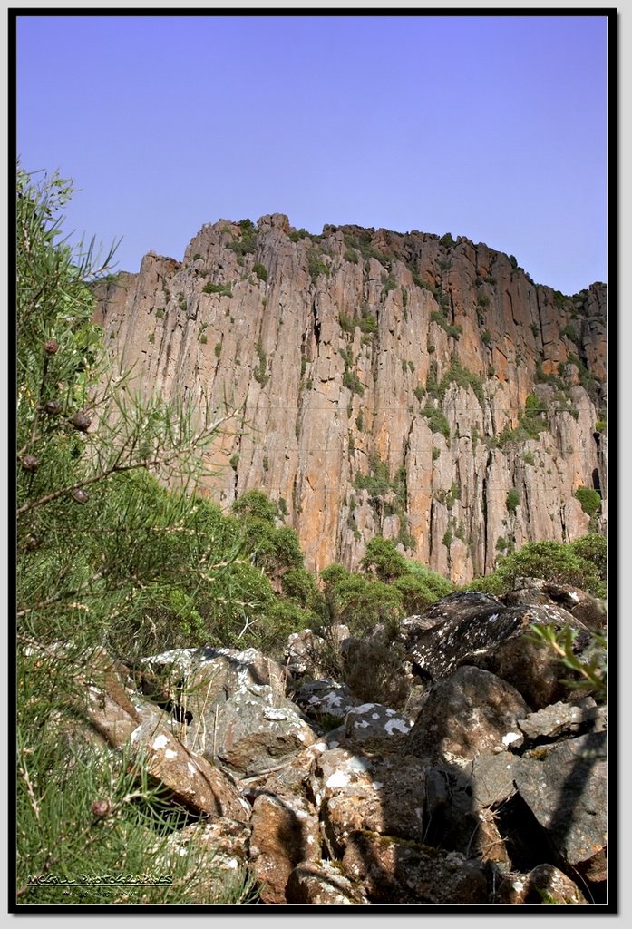
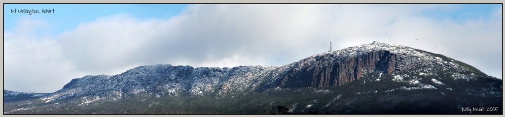
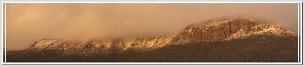
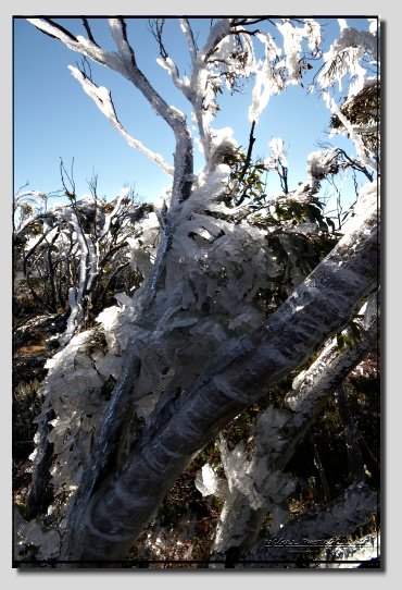
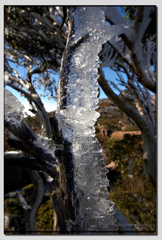
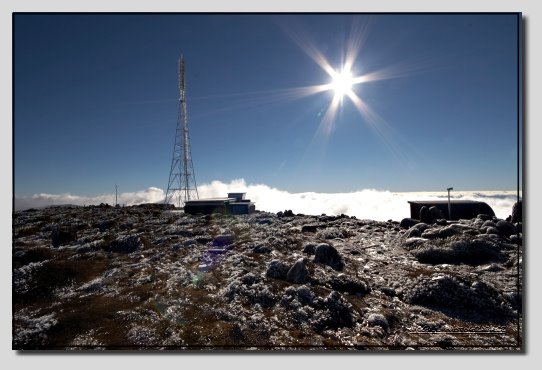
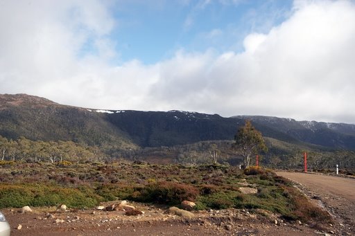
Mount Wellington is the mountain on whose foothills is built much of the city of Hobart. It is frequently snow covered, sometimes even in summer. It is often referred to simply as 'the Mountain' by Hobartians, and it rises to 1,271 metres above sea level.
The lower slopes are thickly forested, but criss-crossed by many walking tracks and a few fire trails. There is also a sealed but narrow road to the summit, about 22km from the city. Halfway up this road is a picnic area called "The Springs", near the site of a chalet/health spa that was destroyed by a bushfire in 1967.
An enclosed lookout near the summit provides spectacular views of the city below and to the east, the Derwent River, and also glimpses of the World Heritage area nearly 100 km to the west.
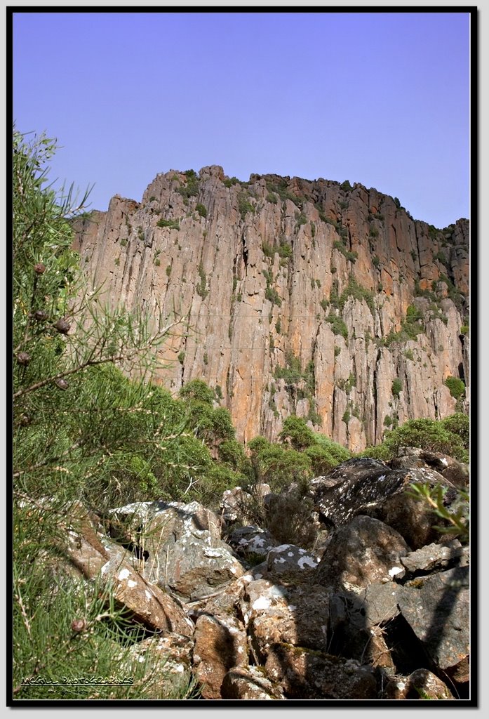
From Hobart, the most distinctive feature of Mt. Wellington is the cliffs of dolerite columns known as the Organ Pipes.
The mountain significantly influences the city's weather, and intending visitors to the summit are advised to dress warmly against the often icy winds at the summit, which have been recorded at over 135km/hr.
The first weather station was set up on Mount Wellington in 1895 by Clement Lindley Wragge.
A cable car development has been proposed for the mountain on various occasions, but public oppostion has so far prevented any major developments.