
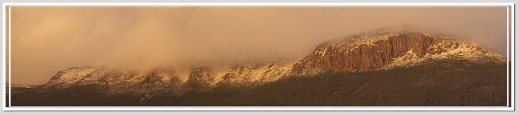
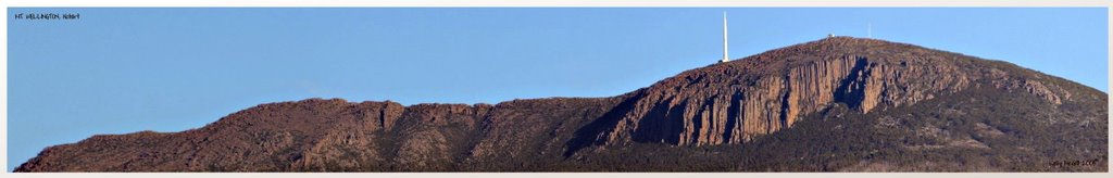
Mount Wellington is the mountain on whose foothills is built much of the city of Hobart. It is frequently snow covered, sometimes even in summer. It is often referred to simply as 'the Mountain' by Hobartians, and it rises to 1,271 metres above sea level.
The lower slopes are thickly forested, but criss-crossed by many walking tracks and a few fire trails. There is also a sealed but narrow road to the summit, about 22km from the city. Halfway up this road is a picnic area called "The Springs", near the site of a chalet/health spa that was destroyed by a bushfire in 1967.
An enclosed lookout near the summit provides spectacular views of the city below and to the east, the Derwent River, and also glimpses of the World Heritage area nearly 100 km to the west.
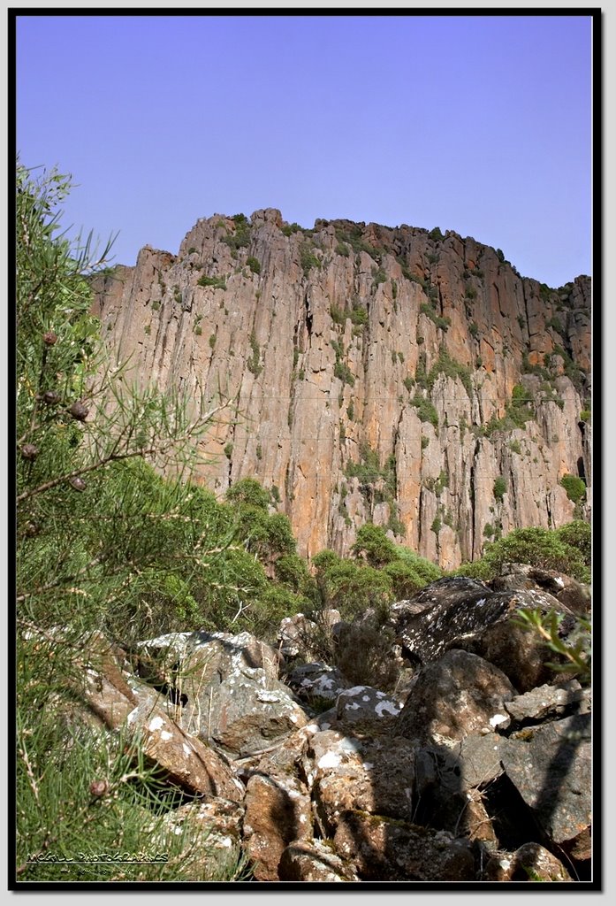
From Hobart, the most distinctive feature of Mt. Wellington is the cliffs of dolerite columns known as the Organ Pipes.
The mountain significantly influences the city's weather, and intending visitors to the summit are advised to dress warmly against the often icy winds at the summit, which have been recorded at over 135km/hr.
The first weather station was set up on Mount Wellington in 1895 by Clement Lindley Wragge.
A cable car development has been proposed for the mountain on various occasions, but public oppostion has so far prevented any major developments.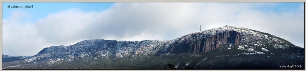

No comments:
Post a Comment